
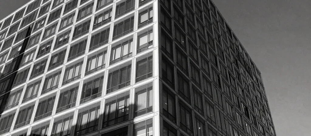
As spatial computing matures, the physical metropolis is gaining a permanent digital twin overlaid directly onto streetscapes. City sidewalks and building facades are no longer static concrete; they are dynamic canvases for contextual information and design. This evolution reshapes how citizens navigate density, heritage, and public space.
The Overlaid Metropolis and Human Scale
Navigating a city equipped with subtle spatial interfaces shifts attention back to physical surroundings rather than down at handheld screens. Wayfinding cues can be projected naturally into line-of-sight pathways. When executed with design restraint, spatial layers enhance human scale rather than cluttering visual perception.
Preserving Physical Atmosphere Against Clutter
The primary threat of spatial technology is visual saturation in public arenas. Thoughtful urban planners and digital designers must champion strict visual minimalism to avoid chaotic augmented signage. Preserving the tactile charm of historic stone and open plazas remains essential for civic wellbeing.
The Ethics of Shared Perception
When citizens view different augmented layers of the same avenue, shared urban reality comes under scrutiny. Establishing common design protocols for public spatial computing ensures cities remain cohesive social spaces. The future of urban design lies in balancing personalized digital depth with collective physical grace.